Welcome to Utility Mapping Bootcamp!
Want to take your utility mapping skills and utility locating services to the next level!?
Not sure where or how to get started!?
Enroll in this one-of-a-kind Utility Mapping Bootcamp today and learn the most sought after skills and services in the utility industry!
Why You Should Take This Course
Our lectures are given by highly-qualified and certified GIS professionals with extensive GIS & Utility Mapping training and experience.
- This course gives you the absolute best online, instructional, and hands-on experience.
- Students use the latest and greatest industry-leading GIS mapping technology.
- Gain exposure to the most advanced & affordable GIS implementation strategies & tools.
About This Course
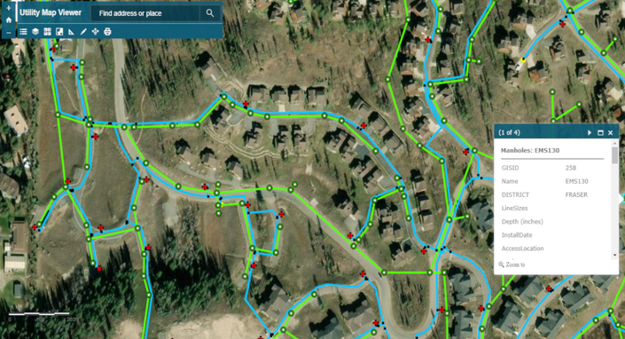
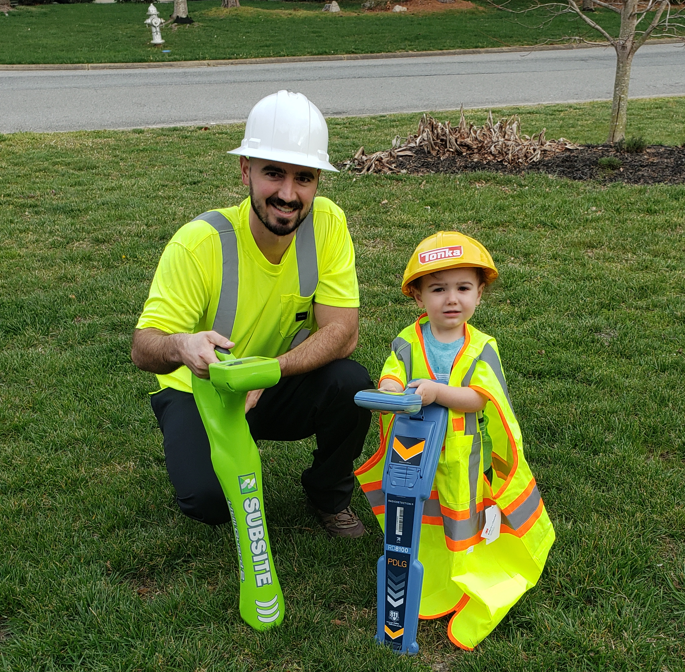
This instructional course teaches students how to map and manage utility data using advanced open-source GIS technology. Master the process of converting GPS files (KML, CSV, TXT exported from utility locating equipment such as RD8100, UtiliGuard 2, vLocPro2, LMX100, and mobile GPS applications such as Cube-a) to GIS datasets using desktop software, and then build simple web-based mapping applications to access and share utility maps and data online in a secure and private cloud GIS environment. This utility mapping training will walk your team through a sample project to import GPS data, digitize utilities, export PDF maps, and create a web mapping application, from start to finish.
This is a complete step-by-step guide which includes:
- 44 Page Step-by-Step PDF Guide
- Instructional How-To Videos
- Sample GPS and GIS data files
- Preconfigured GIS map files
- Practical & challenging lesson assignments
- 24x7 learner assistance and support
- Centerline Mapping Alumni Association
- Lifetime access to high-quality e-learning content
No prior utility mapping or GIS experience is necessary.
Requirements
- Students should have 0 - 10+ years experience with Utilities, GPS, GIS, GPR, & CAD.
- Students should be familiar with various data formats: KML, CSV, Shapefiles, DXF, DWG, CAD.
- Students should be eager to learn how to map and manage critical utility data.
Who This Course Is For?
- Utility Locators, GPR Technicians, CAD Drafters, Surveyors, GIS Technicians, GIS Analysts, Utility Engineers, Directional Drillers, high school students, and college students.
- This course is meant for those looking for hands-on experience mapping utilities using mobile and web-based GIS.
- This course is great for students interested in sharpening their GIS, utility mapping, and data management skills.
- This course is perfect for surveying, utility locating, and SUE firms that want to expand their deliverables and stand apart from competition by offering GIS as a service.
- Anyone interested in learning how to map underground utilities using GIS.
All GPS and GIS software used in this training is either free and open source, or provides free trials.
No additional software expenses to take this training.
Hope to see your team enroll soon!
Tyler Bristow
Your Instructor
Tyler Bristow is a certified GIS Professional (GISP) with over 12 years of experience providing GIS consulting for local and federal governments, mid-sized municipalities, and large industrial facilities using various GPS, GIS, & CAD technology. Tyler provides utility mapping consulting and training for utility companies, locating firms, surveyors, and civil engineers.
Course Curriculum
-
PreviewLesson 1 - Introduction to GIS (5:58)
-
PreviewLesson 2 - Install Mapping Software (8:01)
-
PreviewLesson 3 - Create GIS Shapefiles (4:49)
-
PreviewLesson 4 - Symbolize Utility Data (3:48)
-
PreviewLesson 5 - Add GPS Field Data to Map (8:56)
-
PreviewLesson 6 - Digitize and Map Utilities (29:58)
-
PreviewLesson 7 - Create and Export PDF Maps (8:32)
-
PreviewLesson 8 - Upload Data to a Web Map (16:00)
-
PreviewLesson 9 - Build a Utility Map Viewer (12:06)
-
StartLegal Disclaimer and Terms of Use